Gallery-wrapped, ready to hang
Stretched over a 38 mm (1.5 in) bar and delivered stretched — there is nothing to assemble and no separate frame to buy.
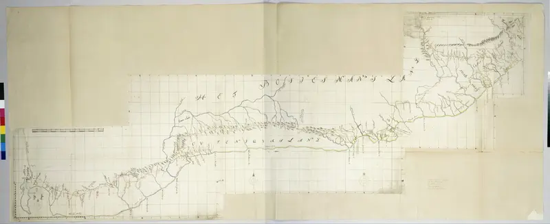
| Artist | Unknown |
| Year | 1777-10 - 1786-03 |
| Origin | Rijksmuseum |
| Category | Drawings |
| Color | Beige |
| Resolution | 7547x3088 |
| Orientation | Landscape |
| File Type | High-resolution JPG |
| Source | Public domain, restored by Archive Lane |
| License | Personal & commercial use, no attribution required |
| Delivery | Instant digital download |
| SKU | 436062 |
Instant digital delivery.Download the original high-resolution file immediately with your membership — no shipping, no waiting.
This public domain artwork is offered as an original high-resolution digital download.
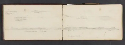
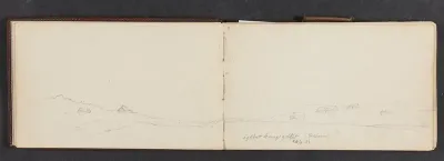
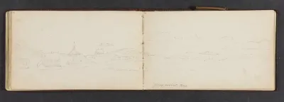
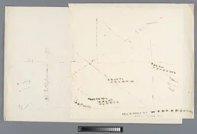
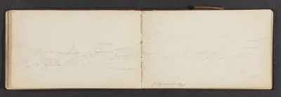
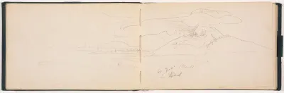
Map of the South Coast of the Cape from Table Bay to the Great Kei River. is a public-domain artwork, dated 1777-10 - 1786-03. The original is held by the Rijksmuseum, and the file offered here measures 7547 × 3088 px (2.5 MB). You will find it among Drawings, in landscape format.
Map of the South Coast of the Cape from Table Bay to the Great Kei River. is free to preview at web resolution. The original high-resolution file is a one-time purchase, or included with an Archive Lane membership (up to 1,000 high-resolution downloads per day).
Stretched over a 38 mm (1.5 in) bar and delivered stretched — there is nothing to assemble and no separate frame to buy.
The outer strip of the artwork is mirrored around the sides, so the full picture stays on the face of the canvas instead of disappearing around the corner.
A heavy 400 gsm canvas with a matte woven surface. There is no glass in front of it, so the print stays readable from any angle and in any light.

Every room view above is drawn to the real scale of the size you selected, measured against the furniture in the photograph — so the wall space is a fair estimate, not decoration.